Phoenix Agencies Team Up to Leverage Cloud Data Fusion and Improve Traffic Flow

People move fluidly across geographic regions. Locally hosted software, confined to a single agency’s data center, doesn't provide the insight necessary to fully understand traffic and congestion.
The Solution
Cloud Data Fusion by Acyclica uses the cloud to aggregate data from a wide variety of sources, bring them together, and process them in novel ways. These data generate actionable insights that can be leveraged by a single agency or shared across entire regions.
The Phoenix Metropolitan Area
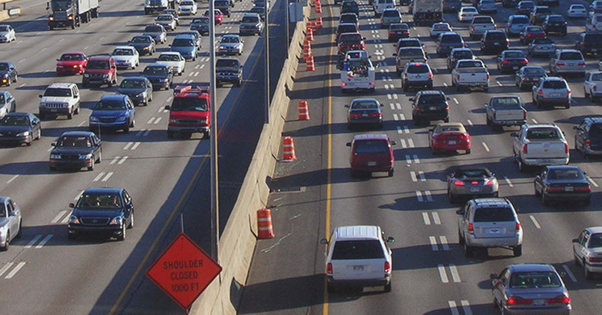
The Phoenix Metropolitan Area has 4 million people spread over a number of individual cities. It is one of the fastest growing regions in the United States, and like other metropolitan areas, it faces the specific challenges that come with managing such regions.
In metropolitan areas, the traffic management strategy of a single agency can have significant impacts on those surrounding it. Physical borders between agencies in such areas do not exist, and upstream traffic from one community can affect communities downstream. In such areas, using accurate and objective data to assess regional trends can vastly increase an agency’s ability to make fiscally responsible improvements. In the Phoenix Metropolitan Area there are currently eight agencies leveraging Cloud Data Fusion by Acyclica to gather and share data to improve traffic flows across the entire region.
The participating agencies in this region are collecting data from over 400 FLIR sensors. These sensors stream data into the Acyclica cloud, where it is readily accessible, and provides critical data analysis for all eight agencies. Cloud Data Fusion makes it possible for these agencies to uncover unique and novel insights that were previously impossible to obtain from individual sensor data. Cloud Data Fusion also affords each agency the convenience of sharing that data with neighboring municipalities.
 A selection of the sensors from the Phoenix region
Bell Road is a major corridor shared by six of the agencies in this region. With increasing traffic congestion along this corridor, and with future capacity being a serious concern, these agencies decided that the installation of adaptive systems would help improve overall route performance. It was critical that accurate, high resolution data be available in order to judge the efficacy of such changes.
Historically, gathering and deciphering such data would have been challenging. Float-car studies are expensive and time consuming. The data generated from them represents a narrow interval of time on a limited number of days, which may not represent typical conditions. Delay studies at individual intersections are similarly limited. Several agencies with only a few intersections interspersed throughout the region may not have been able to collect any actionable data. Rather than relying on a single interval of time as representative of typical conditions, Cloud Data Fusion by Acyclica allows data to be collected and analyzed continuously over long periods of time, ensuring an accurate depiction of what is occurring on roadways in real time.
Cloud Data Fusion by Acyclica transforms robust, system-wide data, into the actionable information that is ultimately necessary to optimize infrastructure performance and increase transportation safety.
Related Articles
-
 Tech Note
Work Zone Enforcement: Faster & Safer
Read the Story -
 Recorded Webinar
How to select the best camera for your projects
Watch now -
 Fundamentals
Do You Need a High Temp Range TIC?
Read the Story